Acequia Rovella

The route of the Robella irrigation ditch, Sèquia de Rovella in Valencian, is the closest to the city of Valencia and in all probability the oldest.
Known as the Valencia irrigation ditch, it is the only irrigation ditch that crossed the city from west to east, performing the essential function of maintaining it and safeguarding its sanitation by attending to the many and varied needs inherent to an urban center. Regardless of the total flow of the river, a part of it was reserved for sanitation and safety: cleaning filth (detritus), including blood from slaughterhouses and smothering fires constituted a historical privilege called privilege of blood and fire “mola de sang i foc” or “privilegi de sang i foc”.
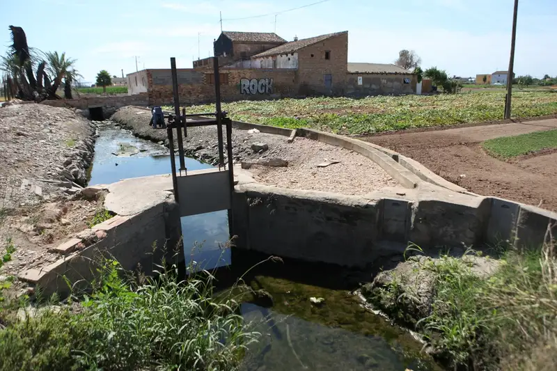
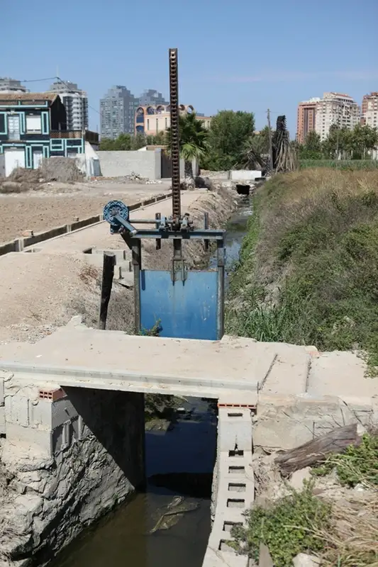
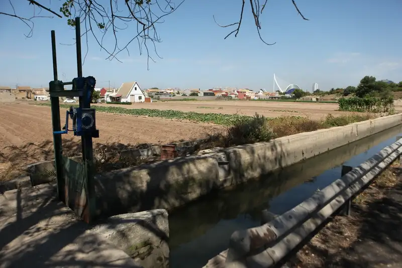
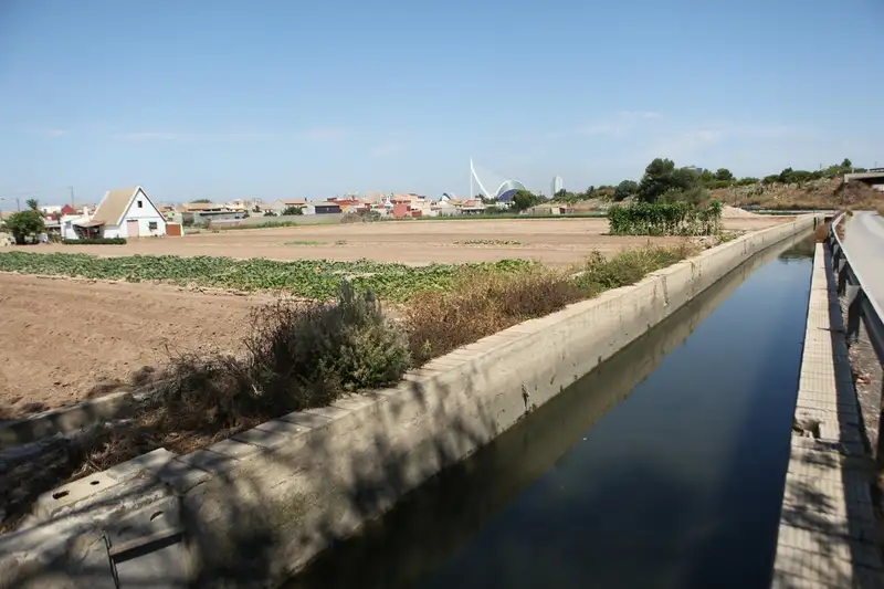
The old Rovella weir was located between the 9 de Octubre and Campanar bridges on the bed of the old Turia riverbed. Its route underwent a significant transformation when the section that entered the city through the Portal de la Corona was removed. From then on, a new route was opened along Guillem de Castro, Xàtiva and Colón streets, linking different streets within the city until reaching Monteolivete along Pedro Aleixandre street. At the intersection of the Avenida del Profesor López Piñero (known as Avenida del Saler) and the Instituto Obrero, the irrigation channel poured into the Valladar, from where it irrigated El Salinar, La Punta, Perú and Nazaret. This is essentially its current route, which flows into the current Turia river, a channel that collects rainwater and sewage from the city’s sanitation system for subsequent management.
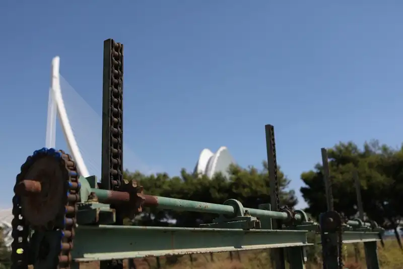
Robella and its layout have suffered profound alterations due to the intense urbanization process of the last decades, constituting its landscape today a paradigmatic model of urban pressure in the Valencian huerta. Of its hydraulic heritage remain the old weir, whose remains are located in the bed of the old riverbed, where the “Casa del Agua” or “Casa de l’Aigua” is located, a protected area of high heritage value, as well as various archaeological remains that appear periodically on the occasion of works in the historic center, within the perimeter of the old medieval wall.
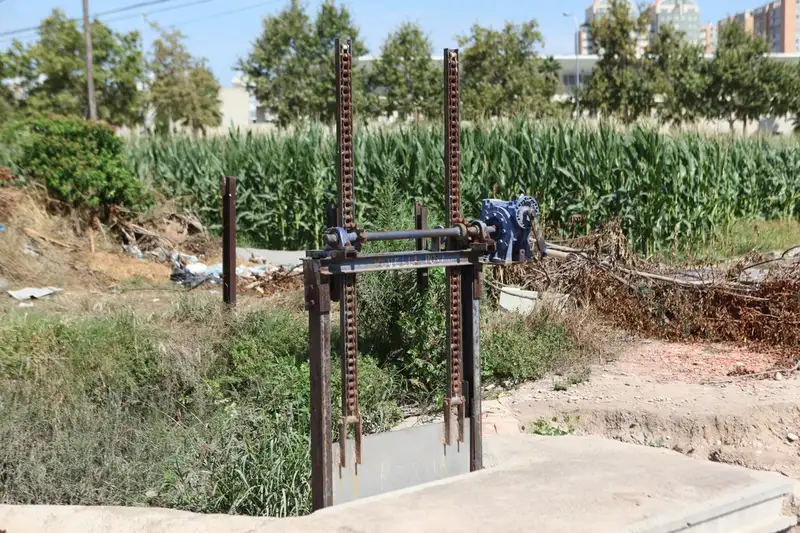
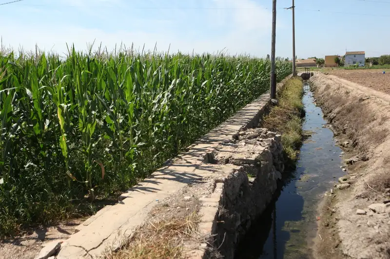
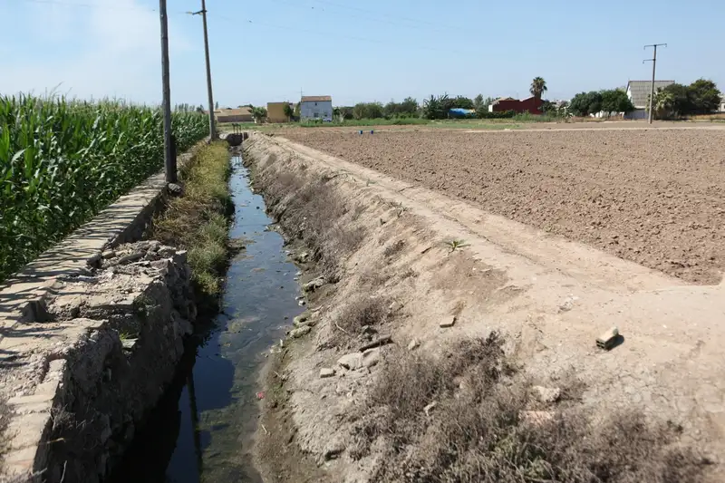
Its route was modified as a result of the execution of the so-called Plan Sur, after the flood of 1957, developed in the 60’s in different stages. The current water intake is located in the municipality of Quart de Poblet in the “azud del repartiment” along with the Acequias de Rascaña, Favara and del Oro or Comunidad de Regantes del Rio Turia. Through the municipality of Mislata, parallel to the river, it reaches the old weir where it joins the old route. Therefore its traditional orchard area has been configured as a kind of “mesopotamia” between the two channels of the Turia: the old one to the north and the new one to the south.