Acequia Favara

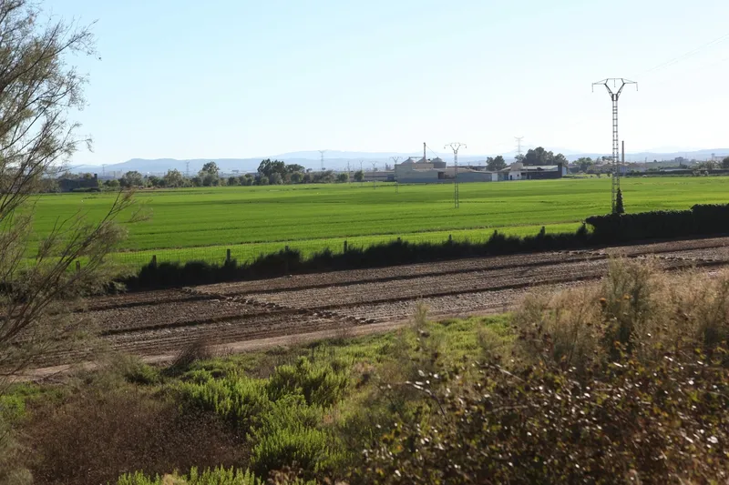
The Favara irrigation ditch, with a traditional endowment of 14 rows, originates in the municipality of Quart de Poblet and irrigates the orchards on the right bank of the Turia River until it reaches the Rovella irrigation ditch and the rice fields around the Albufera of Valencia. The construction of the so-called Plan Sur (the “Southern Solution”) profoundly modified its irrigation area, leaving most of its lands to the south of the new Turia riverbed.
Its primitive weir -currently replaced by the intake in the Azud del Repartiment- was buried under the rubble of the old riverbed after the works started in 1970. From Mislata, the irrigation channel ran parallel to the Rovella channel, approximately in the area around the current Calle del Brasil, continuing along Calle Doctor Sempere and Calle Alcalde Albors, in the area of the old Molí de les Nou Moles. From there it headed towards the city along Pérez Galdós Avenue, crossed Cid Avenue – where the Patraix roll was located – and crossed Safranar and the Sant Isidre neighborhood, then bordering the General Cemetery of Valencia and running along the left bank of the new Turia riverbed.
Among its main historical branches are the Jesús, Tomasot, Rosella and Monges branches, which crossed the Malilla district towards the area around the current avenues of Ausiàs March, Hermanos Maristas and de la Plata, covering the space between the Peris y Valero avenue and the new riverbed. Other secondary branches were the Barca, Segarra, Boira, Lloseta, the King’s ditch and the Pataca branch.
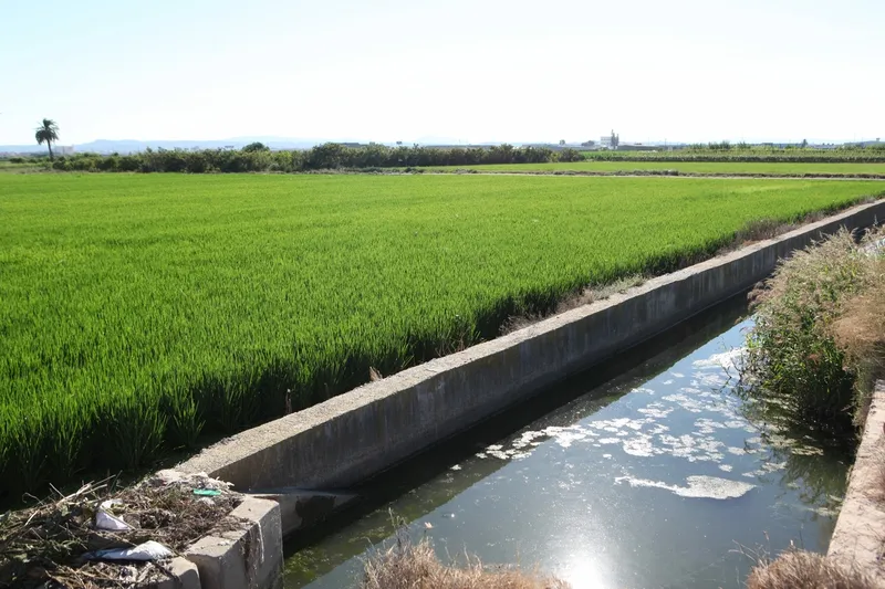
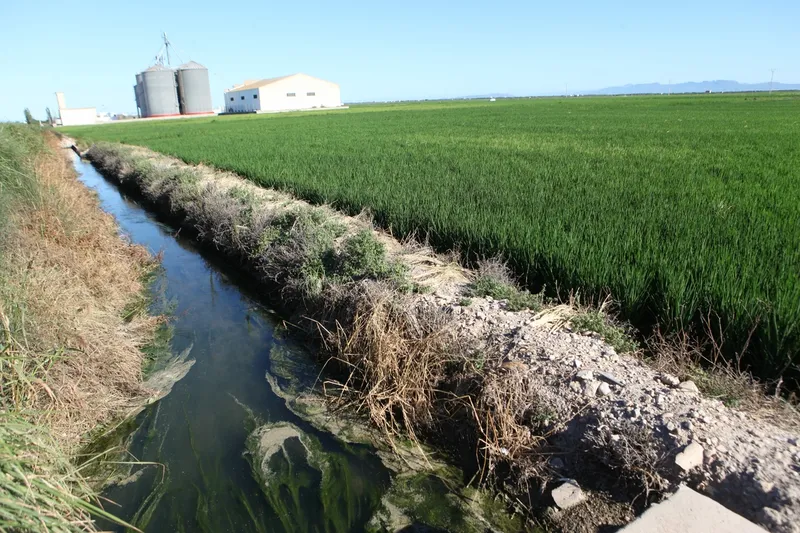
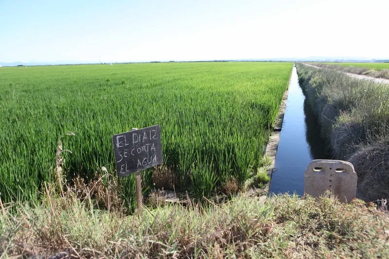
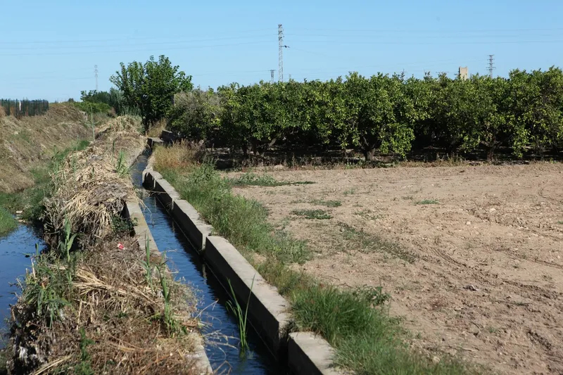
On the other side of the new channel, the Favara irrigation channel continues to deploy a wide network of branches, sequiols and sequiolets that irrigate the orchards of Alfafar, Benetússer, Massanassa, Catarroja and Albal.
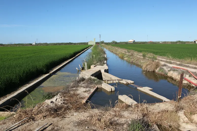
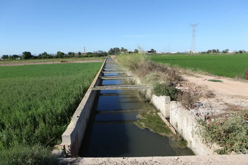
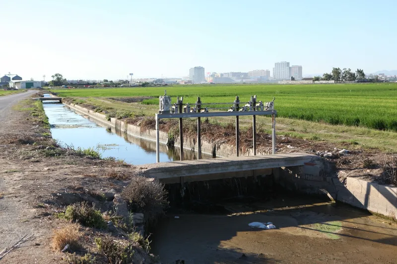
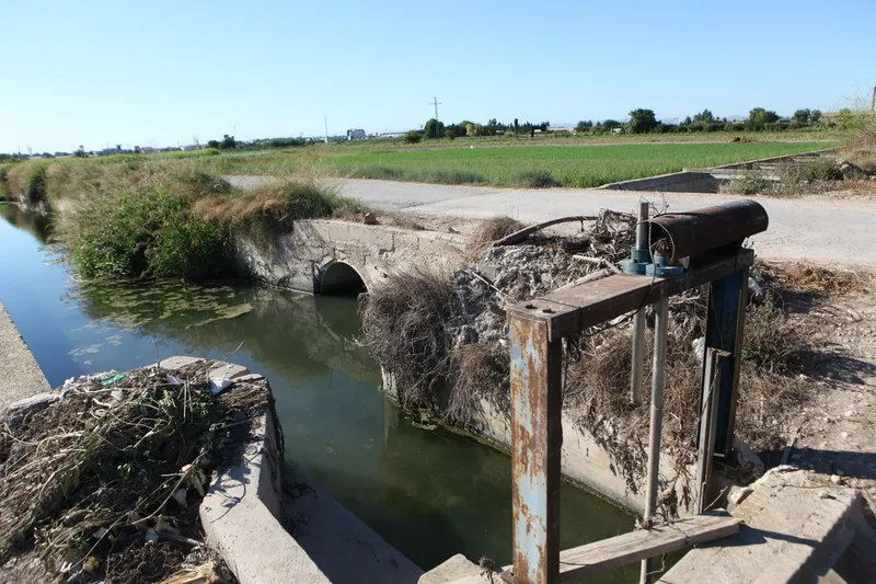
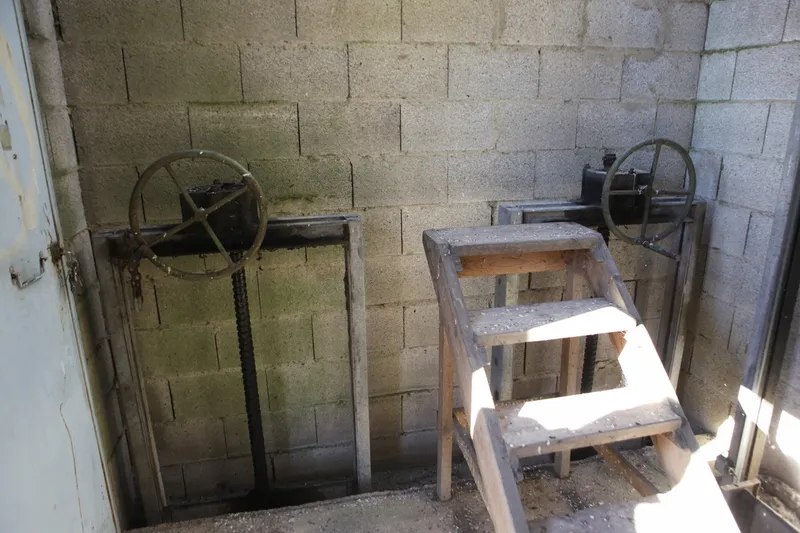
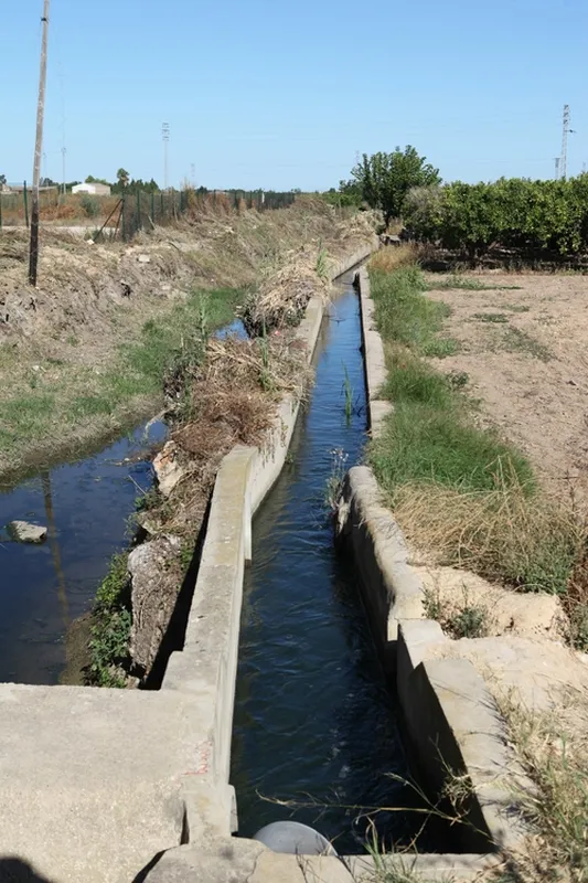
Historically, Favara has been one of the largest and most abundant irrigation channels in the Vega de Valencia, which explains the richness of its hydraulic heritage: dividers, mills, tongues and other infrastructures. Its antiquity is documented from the Islamic period, and many of these elements have their origin in that period. The original weir was located in the municipality of Quart de Poblet, near Mislata, and disappeared with the works of the channeling of the Turia and the South Plan.
Among its singularities is the existence of one of the few subway hydraulic infrastructures of the Vega: a siphon built in the final stretch of the system to save the Torrent or Massanassa ravine and carry the water to the districts of Catarroja and Albal.
Its proximity to the city of Valencia also favored the installation of numerous mills along its route, both in medieval times and in later centuries, which reinforces its historical relevance within the set of traditional irrigation ditches of the huerta.